
Why every Orbitly image is a Cloud Optimized GeoTIFF
You should not have to download 800 MB to look at one field. COGs let your code read only the pixels it needs.
On this page3 sections
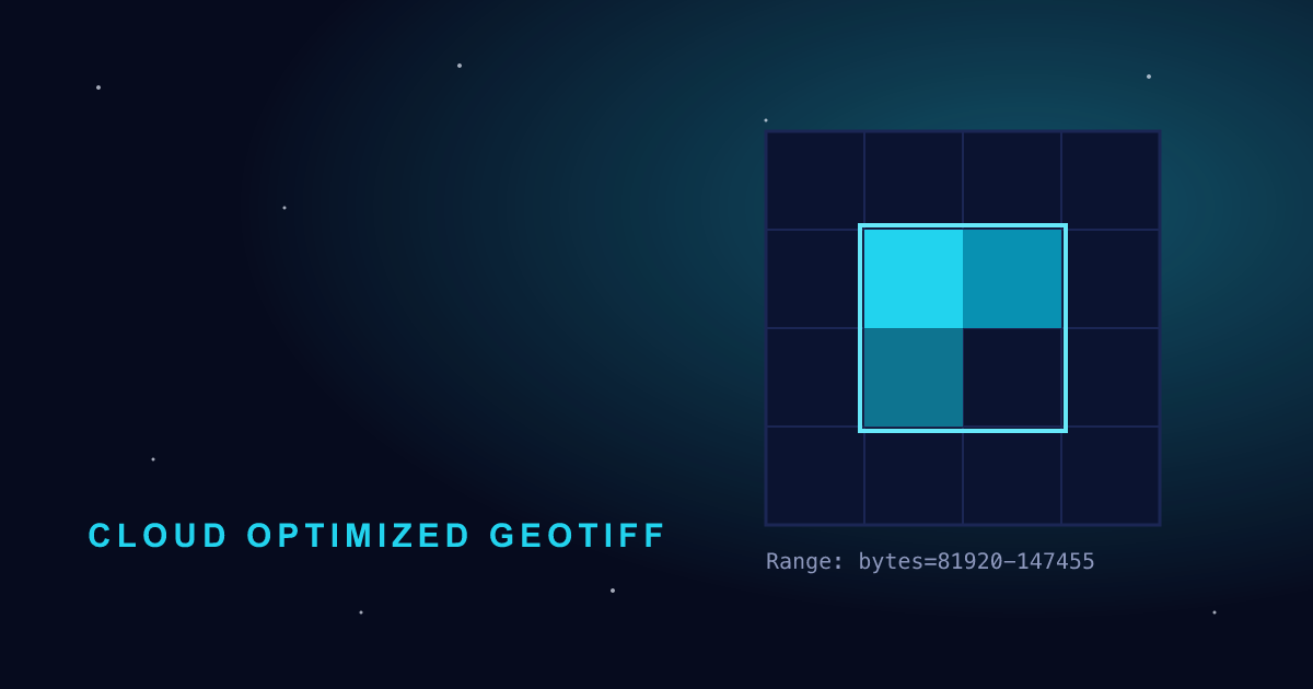
A single full-resolution scene from our constellation is around 800 MB. Most customers look at an area the size of a farm or a building site, which is a few hundred kilobytes of that.
Since API v3, every file we serve is a Cloud Optimized GeoTIFF (COG). It is a normal GeoTIFF with its internal tiles and overviews arranged so that a client can fetch just the parts it needs over HTTP.
How a read works
- Your client fetches the first 16 KB of the file. That holds the header and an index of where every tile lives.
- It works out which 512 × 512 tiles cover your area.
- It asks for just those byte ranges with
Rangerequests.
For a typical field, that is three or four requests and under 1 MB in total.
Reading one with GDAL
Any tool built on GDAL can read our COGs straight from the signed URL:
gdal_translate \
  -projwin -122.43 37.78 -122.41 37.77 \
  "/vsicurl/https://cdn.orbitly.dev/scenes/orb_20260818_s04.tif?sig=..." \
mission-district.tifWhat changed for egress
Since the switch, average egress per API call dropped from 212 MB to 3.8 MB. Downloads of whole scenes still work, they are just rarely needed.